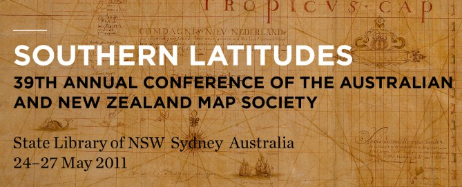
Another forthcoming conference, to be held at the State Library of New South Wales, Southern Latitudes, is presented by the Australia & New Zealand Map Society (ANZMapS) and is to be held from24–27 May 2011. The conference will cover a wide range of topics from presenters including several Petherick readers. Speakers include:
- Frederick Muller, ‘The first map documenting Magellan’s sighting of the Southland and sailing of the Pacific: Fries’ Tabula moderna alterius hemispherius, 1525’
- Dr Michael Pearson, ‘Charting the sealing islands of the Southern Ocean’
- Allen Mawer, ‘Incognita: The Incredible Shrinking Continent’
- Sydney map collector Robert Clancy, ‘Shaping Australia: 1850-1950’
- Rupert Gerritsen, ‘The Freycinet map of 1811 – The first complete map of Australia?’
- John Robson, ‘University of Waikato, ‘John Lort Stokes’
- Mark Alcock, Project Leader, ‘Law of the Sea and Maritime Boundary Advice Project’
- Bronwen Douglas, Senior Fellow at the ANU, ‘Geography, Raciology, and the Naming of Oceania, 1750–1850’
- Christine Kenyon and Katrina Sandiford, ‘Charles Sturt, 1838, Overlander and Explorer: Tracing his journey by map and diary’
- Bernie Joyce, ‘The 150th Anniversary of the Burke & Wills Expedition’
Details of the program, and registration etc are at http://www.anzmaps.org/